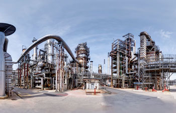
Redefine your asset management through aerial precision and digital twin integration
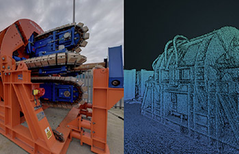
By capturing aerial views and high-resolution imagery, drones provide a comprehensive and detailed understanding of the asset’s physical features, topography, and surroundings.
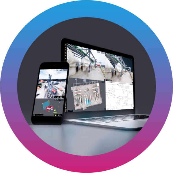
This data can be seamlessly integrated into ZynQ software, allowing for accurate and realistic virtual representations of the asset.
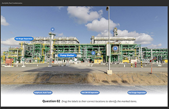
Engineers, architects, and urban planners can leverage this technology to analyse and simulate various scenarios, identify potential issues, and optimise designs.
The ability to navigate and interact with the digital twin using the drone-captured footage enhances decision-making, improves collaboration, and ultimately leads to more efficient asset management and development.