Achieve unparalleled precision, detail, and accuracy through the application of photogrammetry
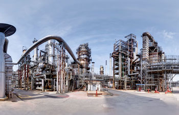
Photogrammetry is a technique used in the creation of digital twins to accurately reconstruct 3D models of objects or environments from photographs.
By analysing the geometric properties and positions of objects in multiple images, photogrammetry extracts depth and spatial information to generate realistic and detailed virtual representations.
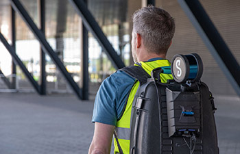
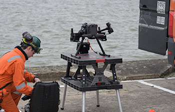
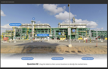
Our 360-photographic data can precisely align with your assets coordinates system, allowing users to accurately overlay geospatial data, such as 3D Models (PDMS Overlays), proposed modifications and the auto-tagging of equipment locations.
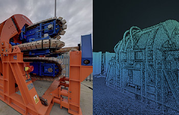
The photographic capture data can also generate accurate photo-realistic 3D models, meshes and point cloud datasets.
Photogrammetry enables the creation of highly accurate and visually compelling digital twins by leveraging the power of photography and computational algorithms.
Providing valuable insights, measurements, and immersive experiences, making it an essential tool for maximising your remote operations.