Digitalisation
Digital Twin is fast becoming a popular term in the oil and gas industry as we look for digitalisation strategies to support the Energy Transition.
What is a Digital Twin?
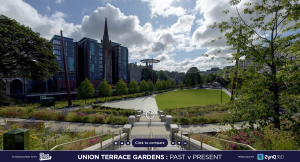
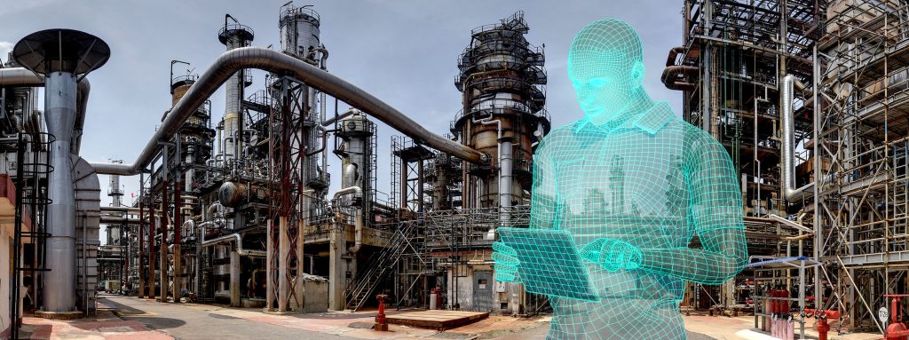
A Digital Twin is a digital model, or virtual representation, of a physical object or structure. Think of being able to view the Mona Lisa through a virtual tour or being able to view a pipeline on your energy plant, from your desk, whether onsite or at home.
A Digital Twin brings the ability to view a physical object or structure remotely. In the Energy industry, this could be a piece of equipment in a Refinery, or it could be an entire Offshore Oil Platform from topsides to subsea.
When we introduce Geospatial data (and other types of data) to a Digital Twin, the use cases soar far beyond remote viewing or ‘virtual tours’. It accelerates you towards a complete digitalisation solution to visualise your energy asset.
What is the difference between a Digital Twin and a Geospatial Digital Twin?
A geospatial digital twin is a digital model of a physical object or structure that includes data relating to its location. It depicts the structure in relation to its surroundings to provide better context.
What is the distance between the pumps and the pipeline? What is the height of the office building in relation to the nearest structure? Will this new kit fit in the existing space? These are all answers that the Geospatial part of a Digital Twin can provide.
In addition to looking at a piece of equipment or structure remotely, you’re seeing its precise location in the world, with the ability to measure space and ‘layer in’ much more visual data.
How is a Geospatial Digital Twin created?
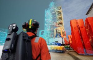
A Digital Twin first requires a digital replica, from which it can then expand. The digital replica is typically created through reality capture processes such as 360 Photography, Photogrammetry, LiDAR/Laser Scanning, 3D Mapping such as Simultaneous Localisation and Mapping (SLAM) or an existing 3D Model.
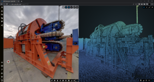
Whether it’s a digital replica as if you were looking at it with your own eyes (360 Photography/Photogrammetry), or as a Point Cloud (Laser Scanning/LiDAR/SLAM), there are multiple options for how to create a digital replica of your asset, each offering different levels of quality and accuracy.
Once the reality capture has been completed, you have an ‘as-built’ digital replica of your entire asset, from the smallest valve to the largest structure. What you do with the replica is how you harness the true value for safer, sustainable, and more cost-effective operations.
What can you do with the Digital Replica?
After a high-quality replica of your asset is generated, it’s time to put this to work via a platform that can plot it geospatially and integrate it with your existing data.
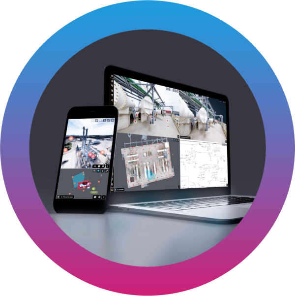
ZynQ 360 offer a secure, cloud-based visualisation software platform called ZynQ.
The team of visualisation experts at ZynQ 360 create holistic, digital replicas of assets, then geospatially plot, build, and deliver those within the ZynQ platform, enabling entire workforces to view and interact with them from anywhere at any time.
ZynQ’s intuitive user interface is designed to get the most from the digital replica of your asset and is enhanced through integration of other digital data sources, such as asset registers or live data feeds from equipment. With an array of features and functionality including tools for measuring, drawing, tagging, management of change, uploading documents, viewing comparisons and integration with live data, ZynQ transforms the replica of your asset into a comprehensive geospatial digital twin that supports sustainability, and improves profitability through digital transformation.
Empowering Entire Workforces
Geospatial Digital Twins will empower entire workforces to work smarter through enhanced communication and maximised collaboration, providing operational excellence across use cases such as:
Turnarounds, Maintenance and Decommissioning Planning
Inspection
Asset Integrity
Remote Engineering
Management of Change
Asset Familiarisation
Emergency Response
Risk Management
Immersive Training
As an industry-agnostic software solution that integrates new and existing visual data, use cases span across an array of assets, projects, or sites.
ZynQ 360 – Supporting Digital Transformation through Visualisation
Our ZynQ software platform is at the core of how we deliver real value. It is sustainable, adaptable, affordable and accessible across entire organisations.
With 30 years of knowledge, industry insight and expertise in providing innovative digital solutions to the energy industry, ZynQ 360 are a partner you can trust to deliver you a Geospatial Digital Twin that will reduce costs, risk, and your carbon footprint – from day one.

To find out more about ZynQ 360, visit our website here.
To watch a short video introducing ZynQ, our Digital Twin software – click here.
Want to talk to us? Get in touch here.

